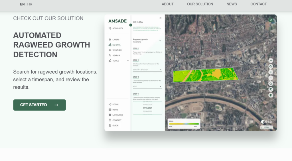
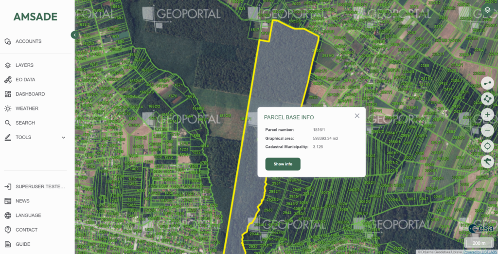
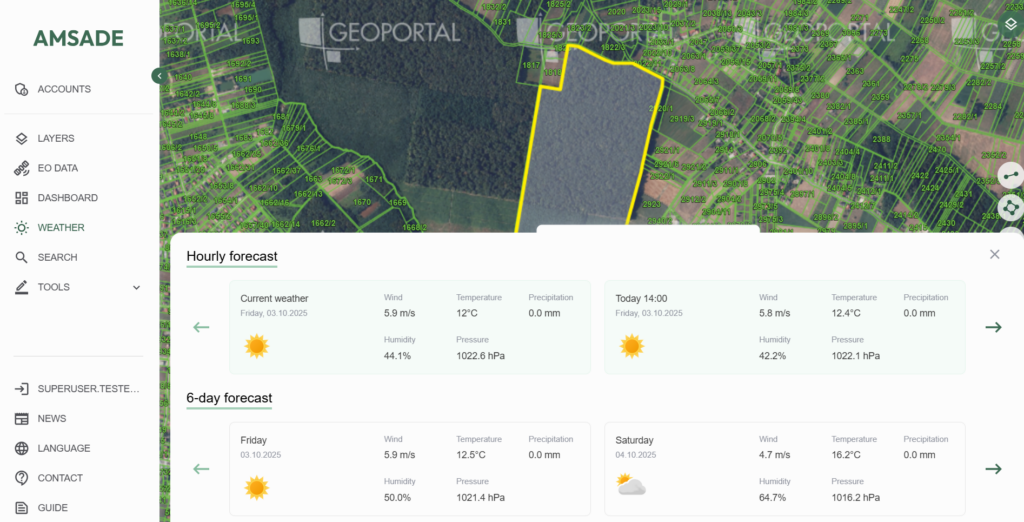
The project results include the development of a prototype system architecture, the establishment of a model that detects ragweed locations larger than 100 m² with over 90% accuracy, and the development of a web GIS application for public authorities and institutions. The project has also contributed to raising public awareness of the harmful effects of ragweed and promoted the use of space technology and EO data in environmental protection. The system enables reliable and efficient monitoring of ragweed, with significant reductions in the costs and time required for traditional field inspections.
The project was successfully completed in January 2025.