We combine data collected on the ground, from the air, and from space into intelligent digital maps and information systems.
THE LOCATION IS JUST THE BEGINNING
The data gain meaning by connecting into GIS
Interactive maps expanded with data represent both the last step in development, but also the first in application of GIS technologies in all branches of economy, ecology, and development of national and local community capacities.
If you want to make better use of the value of the data value at your disposal, you will find a reliable partner and excellent technical support in us.

WHAT CAN WE DO FOR YOU
LIST LABS contributes to the development of several industries

Energetics

Planning

Tourism

Seafaring

Agriculture

Forestry

Energetics
GIS is most often used when choosing the best location for the construction of plant, as well as for determining the optimal routes of energy transmission and distribution in the field of energetics.

Spatial planning
Applying various methods of data collection, our solutions in the spatial planning domain facilitate the development and planning of construction, as well as the monitoring and optimization of existing infrastructure.
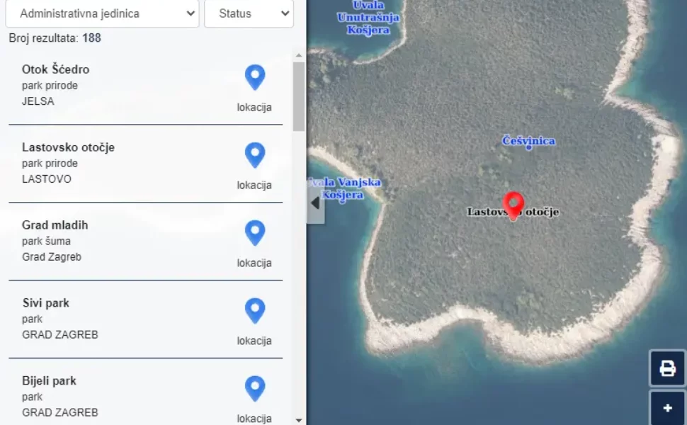
Tourism
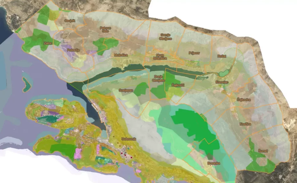
Using different types of data on the base map, we open numerous possibilities for improving tourist experiences at selected destinations, as we have already done for Mljet island.
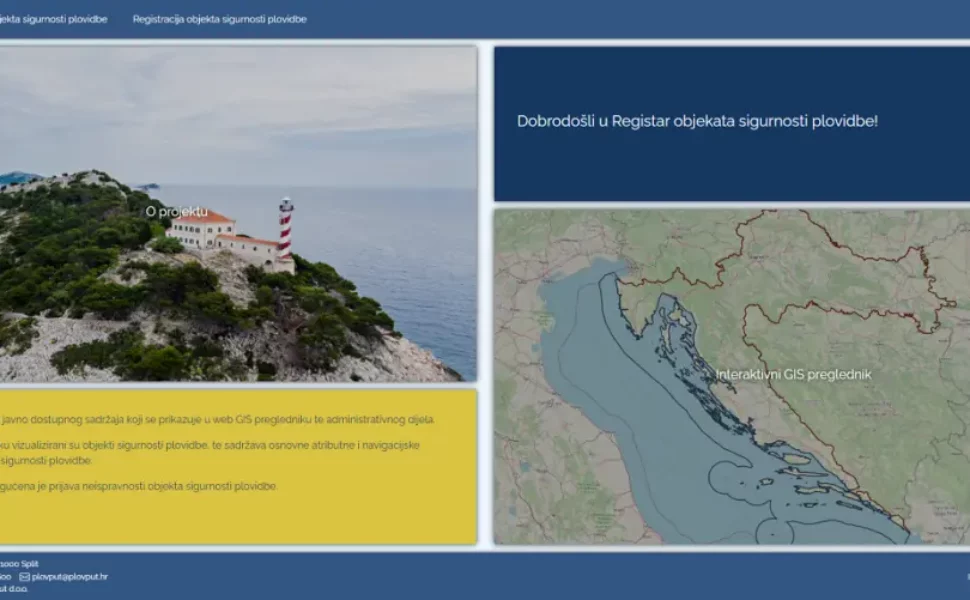
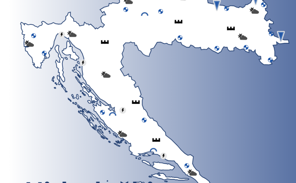
Seafaring
Along with creating an interactive map of navigation safety facilities on the Adriatic, GIS improves maritime tourism and increases safety at sea through numerous applications.


Agriculture
From planning ideal grazing locations for bees according to the time of the year to improve agricultural production, GIS facilitates the planning and development of agricultural potential.

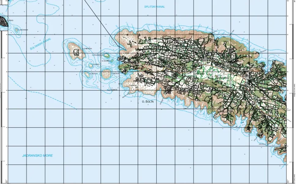
Forestry
Besides monitoring and guarding forests, GIS is also applied in afforestation actions or forest mapping in a certain area, as you can see in our projects.
PROJECTS
From idea to solution
Each LIST LABS project is completely our solution developed using Open Source technologies.


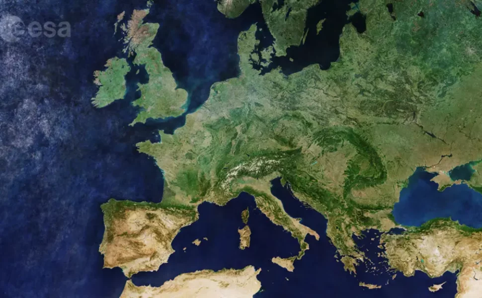


ESA
European Space Agency supports the development of our unique software solutions and applications
We contribute to the popularization of the use of satellite data in Croatia by cooperation with ESA.
Our membership in this prestigious society is affirmed by designing new applications and through the development of applications that use spatial technology.
PEOPLE AND SOME ROBOT
Meet our team
Discover with us all the possibilities and various applications of GIS technologies to improve your business or make life easier for employees, local communities, and society.

Luka Stemberga
Technical Lead

Dragan Divjak
Chief Executive Officer (CEO)

Mirna Bušić
Project Manager

Ivan Razum
Frontend Developer

Elena Marić
GIS Engineer

Ivana Puškarić
GIS Engineer

Helena Matijević
GIS Engineer

Nikola Geršak
Backend developer | Data Scientist

Lea Dujić Rodić
ML Engineer | Data Scientist

Mirko Barada
Senior GIS Engineer

Marko Polovina
Full-stack Developer