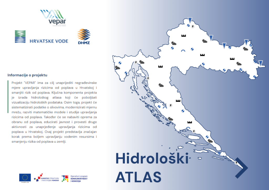
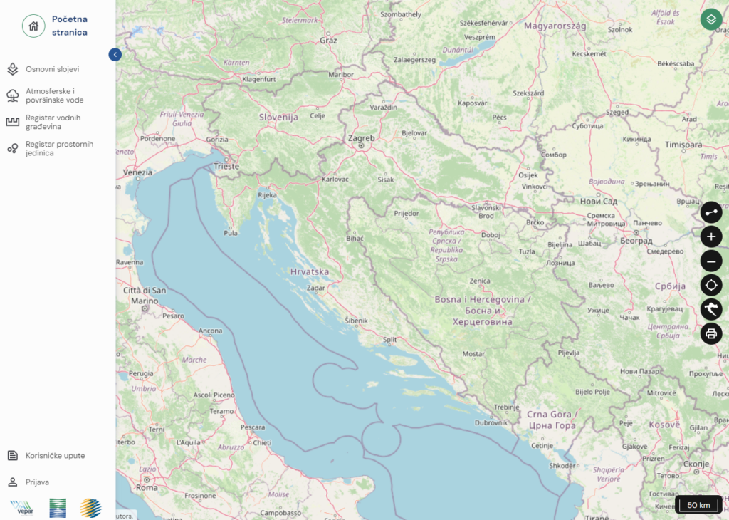
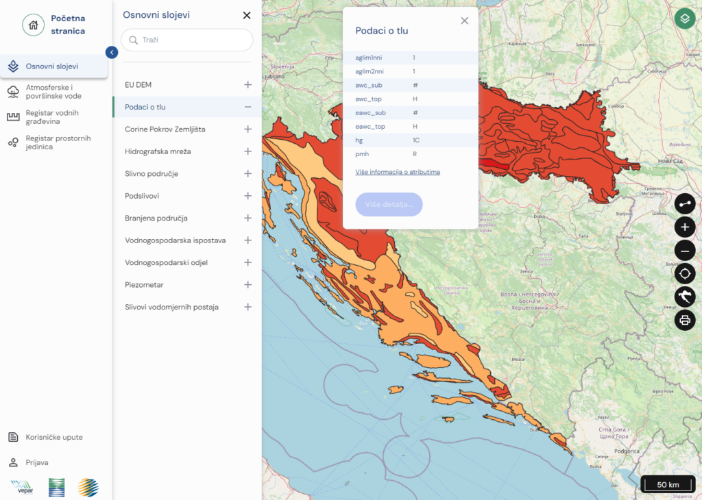
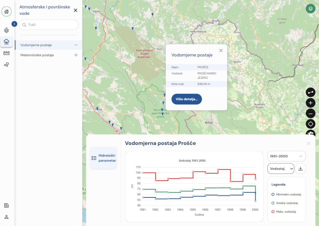
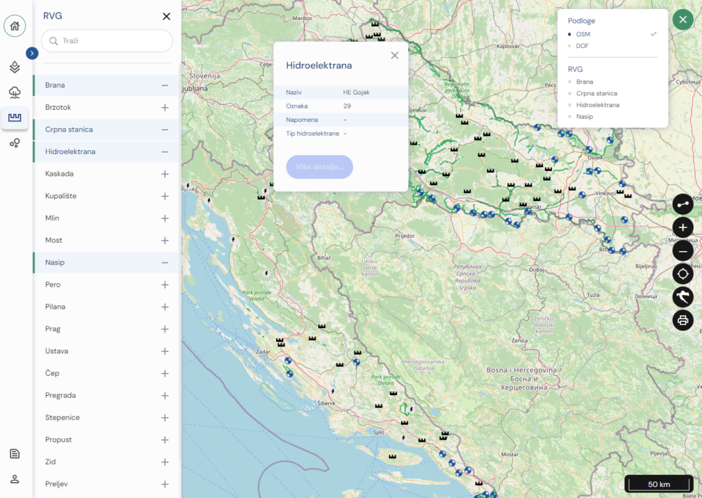
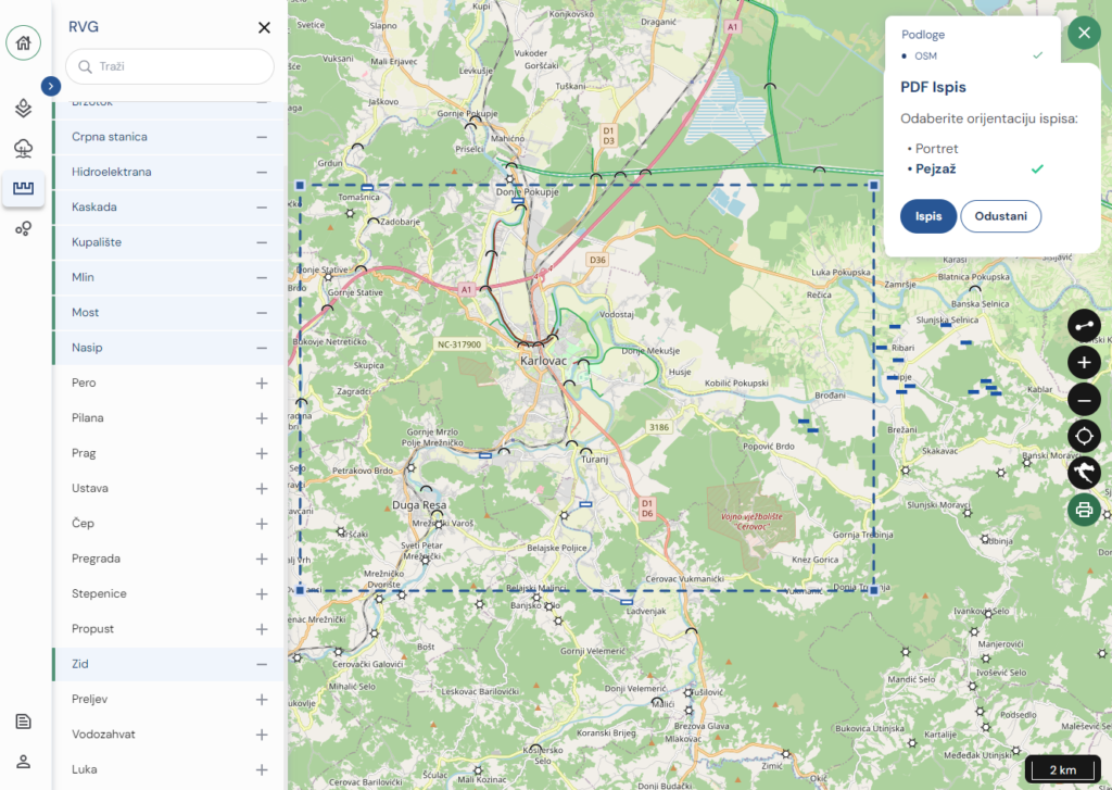
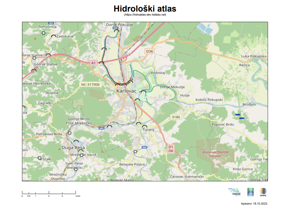
Hydrological ATLAS is a spatial information system with a strong cartographic character whose primary purpose is interactive visualization of hydrological spatial and statistical data.
Client:
Croatian waters, DHMZ
Year:
2023.
Solution
The Hydrological ATLAS web GIS application was developed with the aim of providing users with an interactive platform to reduce the risk of floods in Croatia, while improving water and ecological monitoring, analysis and solutions for integral and sustainable management of water, water environment and flood risks.
Result
Web GIS application Hydrological ATLAS improves the visualization of hydrological data. The project systematizes watershed data, modernizes the measurement network, develops mathematical models and flood risk management studies. Users of this web GIS application are water resource managers and other stakeholders who make informed decisions about water management and allocation, researchers and academics who require detailed and accurate data for their studies, and general users who are interested in learning about the hydrological systems of their area.
This website uses cookies to improve your experience while you navigate through the website. Out of these, the cookies that are categorized as necessary are stored on your browser as they are essential for the working of basic functionalities of the website. We also use third-party cookies that help us analyze and understand how you use this website. These cookies will be stored in your browser only with your consent. You also have the option to opt-out of these cookies. But opting out of some of these cookies may affect your browsing experience.