The Plovput company maintains more than 1200 navigation safety facilities (lighthouses, buoys, signaling lights) scattered throughout the Adriatic Sea. To make it easier for them to maintain and take care of navigation safety, we developed a web GIS browser containing all navigation safety objects on the map. The map contains basic attributes and navigation data displayed with more than 50 different symbols. Users can also report malfunctions by filling out a simple form.
Year:
2021.

Solution

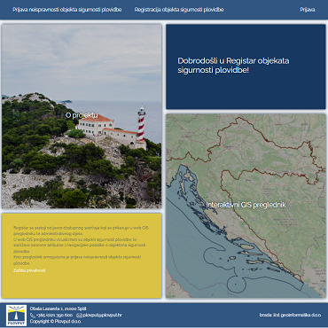
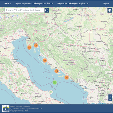
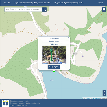
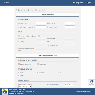
We received numerous data related to navigation safety objects in addition to the already existing cartographic data. After we connected several levels of data with existing geoinformation data, we integrated everything into an interactive map. The map also enables the reporting of navigation safety object malfunctions, in which all seafarers can participate via a simple online form.
Django framework with Postgres PostGIS extension, Geoserver and Leaflet.js library were used for the development of this solution.

Result

The web GIS application has received tens of thousands of inquiries and some malfunction reports due to bad weather or technical malfunctions outside the regular maintenance since its launch, which shortened the repair time and significantly increased the safety of navigation on the Adriatic.
To visit the site, click here.