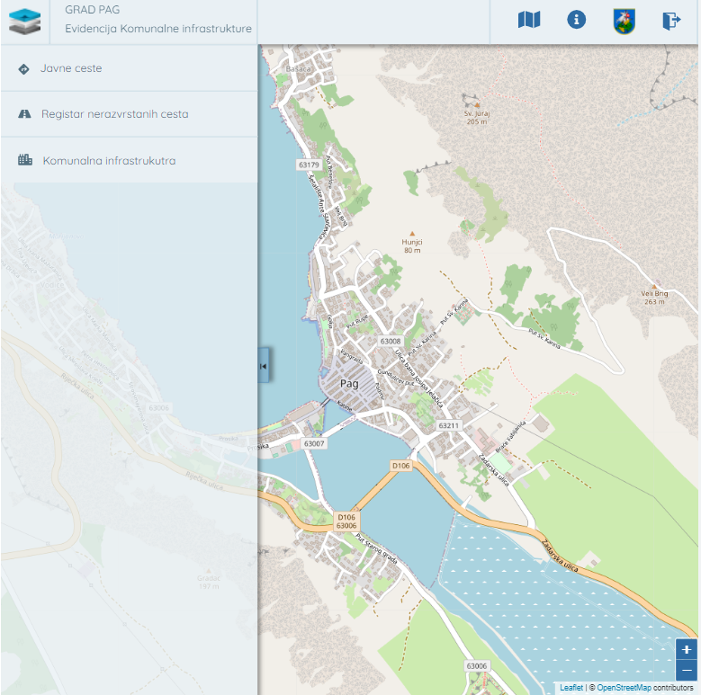
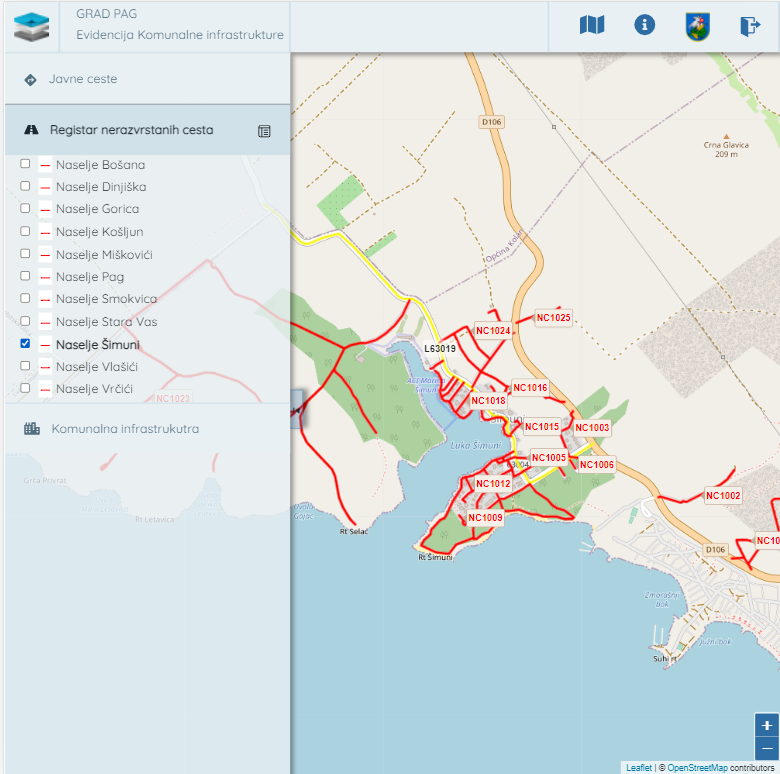
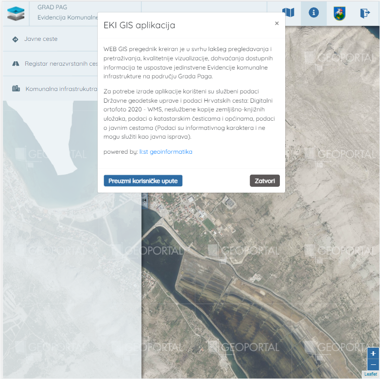
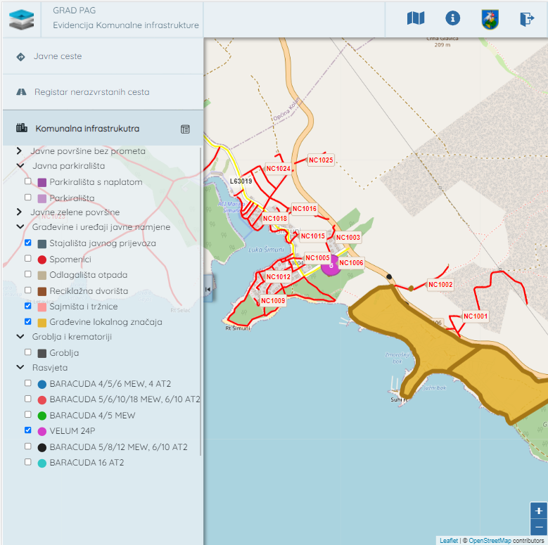
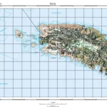
The WEB GIS browser was created for easier browsing and searching, better visualization, retrieving available information, and establishing a unique record of communal infrastructure in the City of Pag area. Official State Geodetic Administration data and data of Hrvatske ceste (data on Croatian roads) were used for creating the application. Used data are Digital orthophoto 2020 – WMS, unofficial copies of land register inserts, data on cadastral parcels and municipalities, and data on public roads (Data is of informative nature and cannot serve as a public document). The React.js framework was used to create the application.